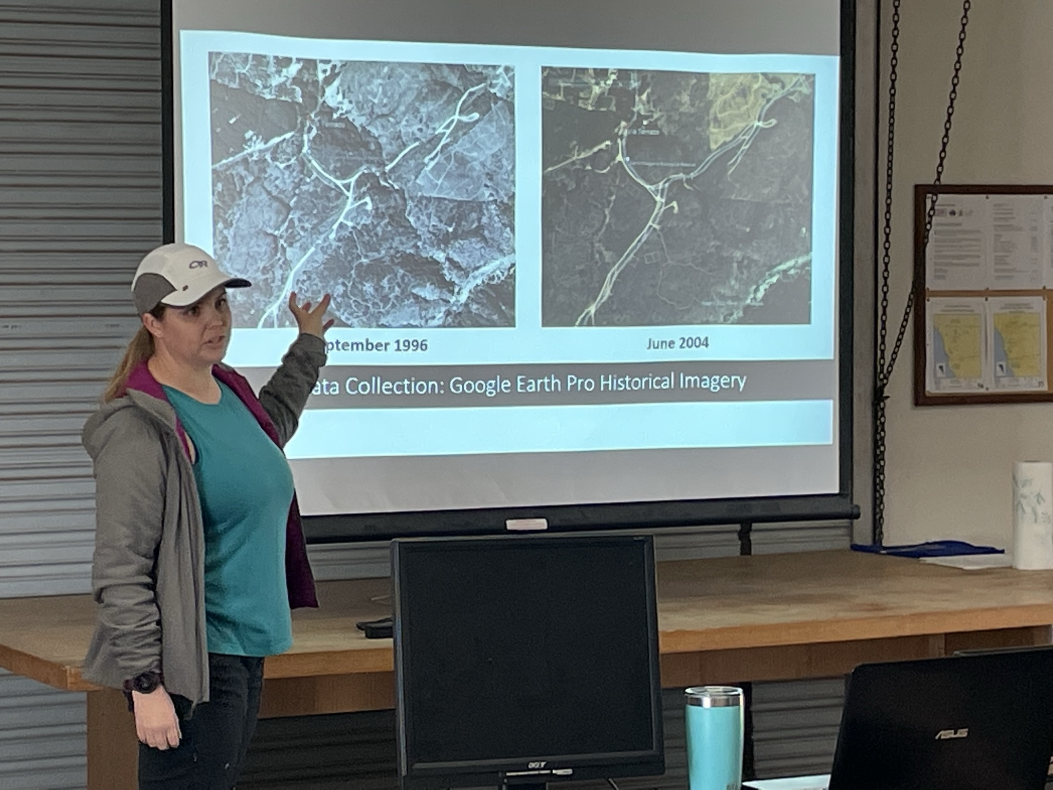
Rebecca Diaz explains her GIS project with a PowerPoint about View Loop Trail
Students observing flowers on the trail
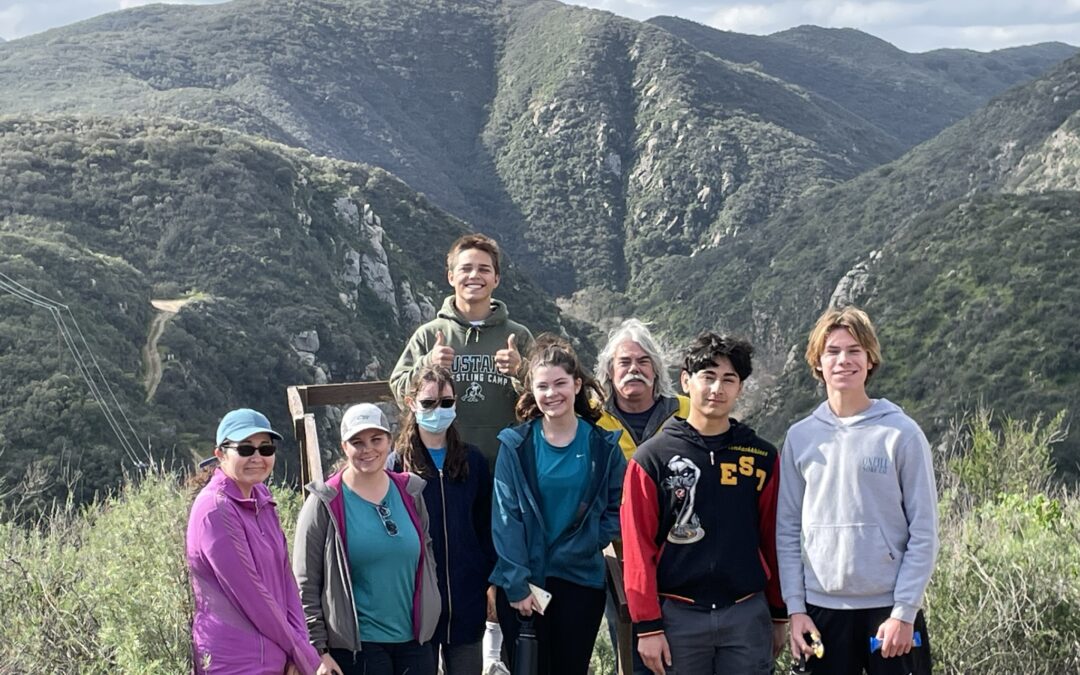
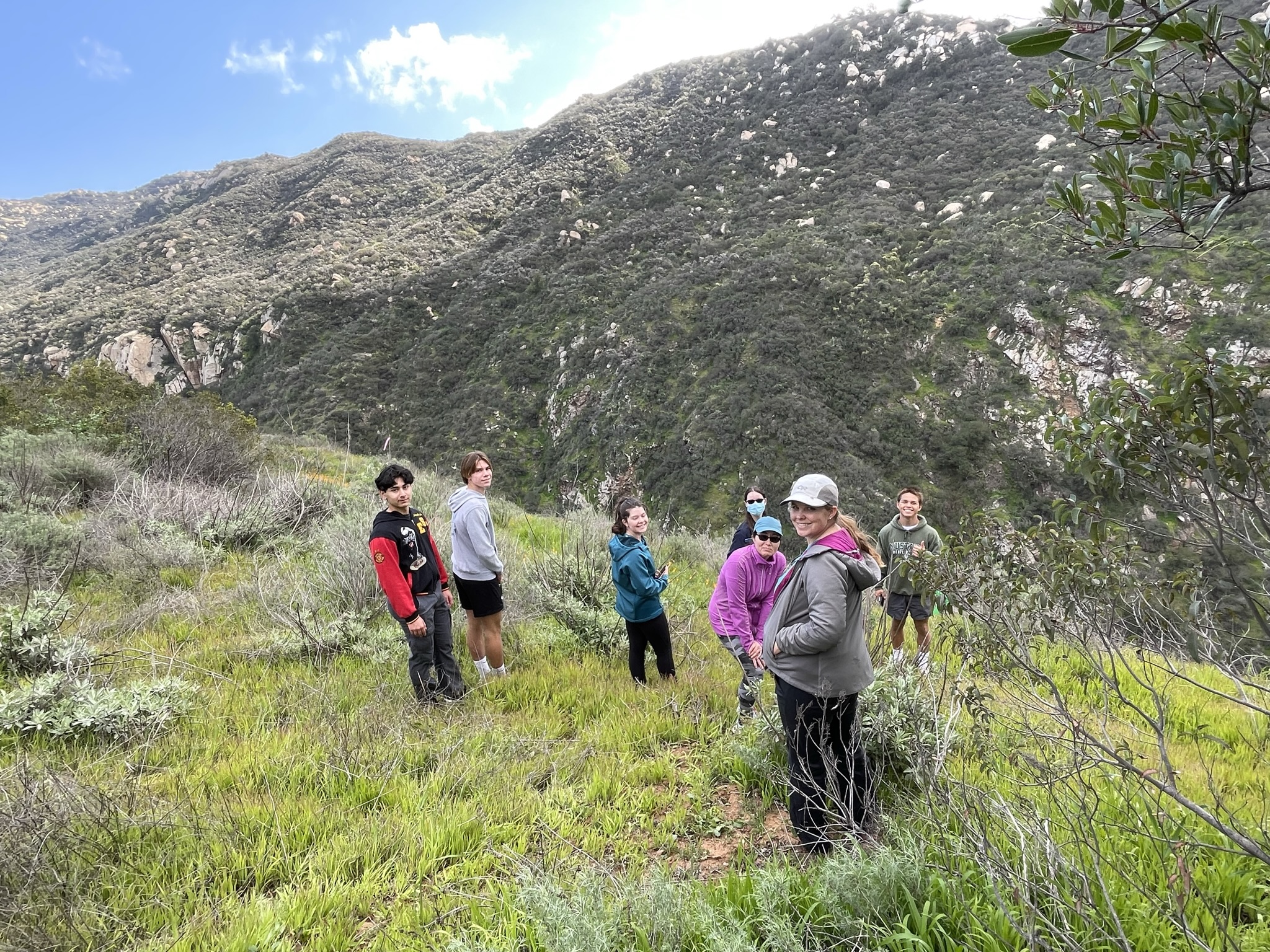
Students enjoy views of the Temecula Gorge

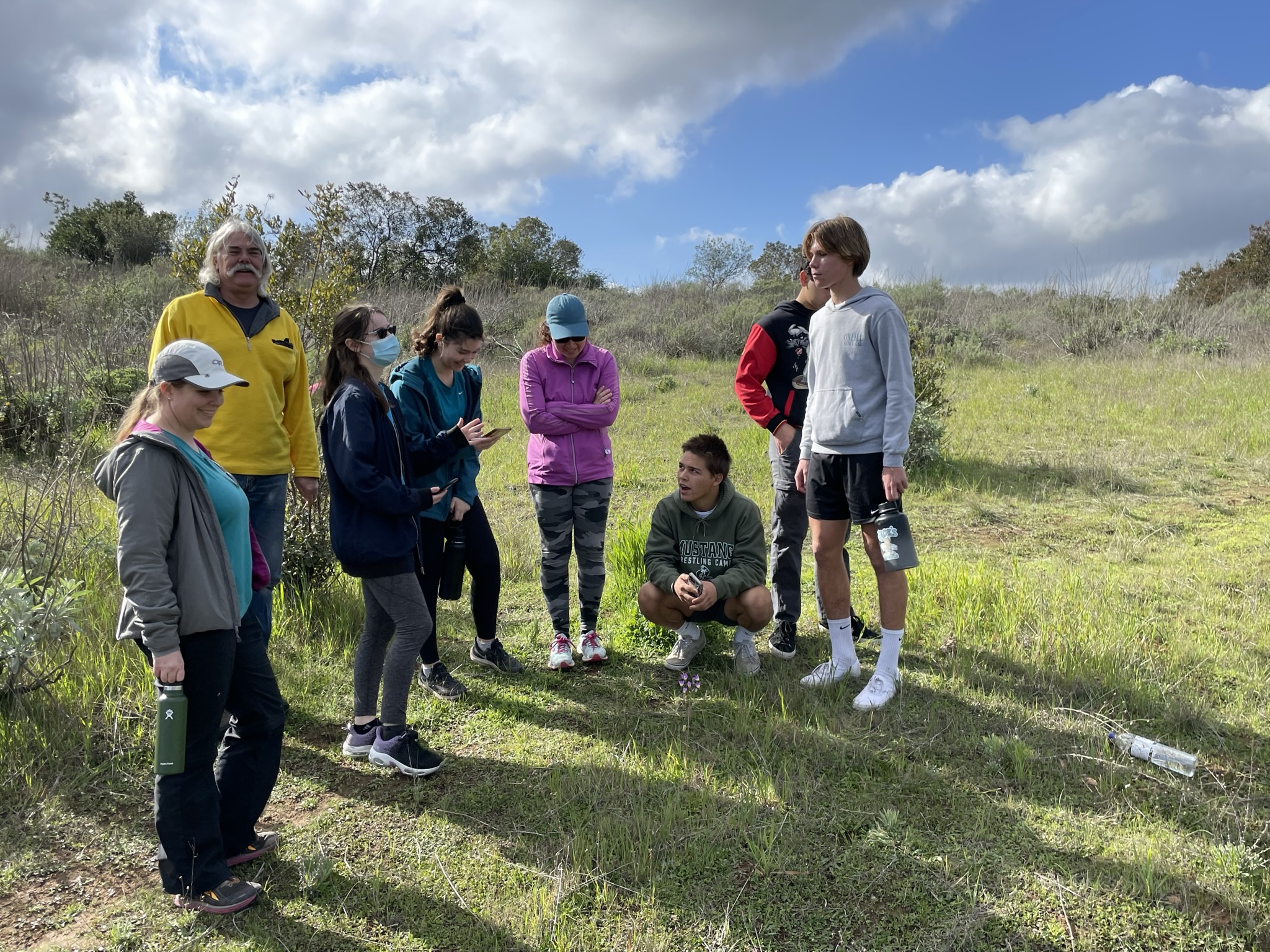
Rebecca Diaz helping students use GIS app to add points of interest to data
Students following trail using GIS app